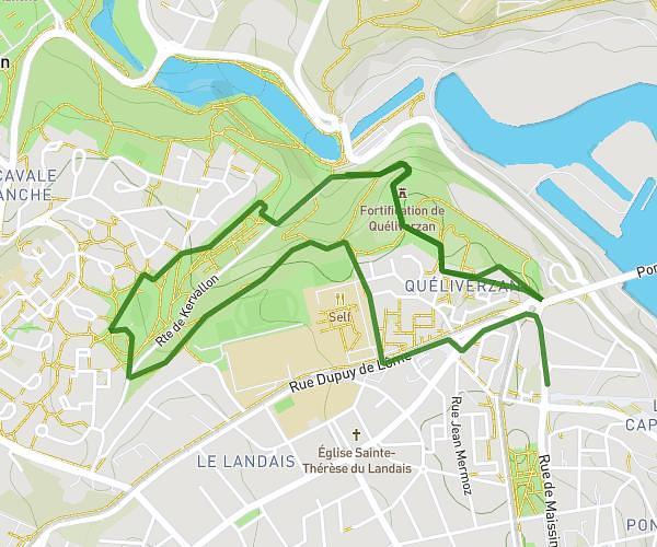
This running route covers 4.78mi starting from Plouzané, Finistère. The run is a loop trail and returns to the trailhead. This run is rated as easy, expect about 51m to complete it. The route has an elevation gain of 85ft and an elevation loss of 102ft.
Boulot
Route details
5.62mph
Speed
583 kcal
Calories burned
Loop trail
Route type
190ft
Min altitude
292ft
Max altitude
Route profile
85ft
Elevation gain
102ft
Elevation loss
190ft
Min altitude
292ft
Max altitude
How to get there
Trailhead: 120 Avenue Alexis De Rochon, 29280 Plouzané, France
GPS coordinates of the trailhead: 48.36104, -4.56447 / 48°21'39'' N, 4°33'52'' W