This running route covers 11.988mi starting from Sainte-Florine, Haute-Loire. The run does not return to the trailhead and ends near 5 Chemin Des Fours À Chaux, 63500 Saint-Rémy-de-Chargnat, France. This run is rated as strenuous, expect about 2h9m to complete it. The route has an elevation gain of 1447ft and an elevation loss of 1493ft.
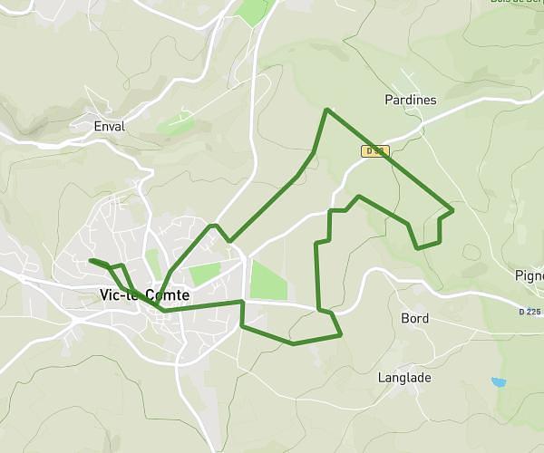
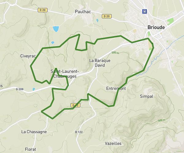
St Rémy par esteil
Route details
5.57mph
Speed
1475 kcal
Calories burned
Point to point
Route type
1283ft
Min altitude
2385ft
Max altitude
Route profile
1447ft
Elevation gain
1493ft
Elevation loss
1283ft
Min altitude
2385ft
Max altitude
How to get there
Trailhead: 1 Chemin De La Gaieté, 43250 Sainte-Florine, France
GPS coordinates of the trailhead: 45.391762, 3.326147 / 45°23'30'' N, 3°19'34'' E