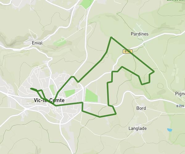
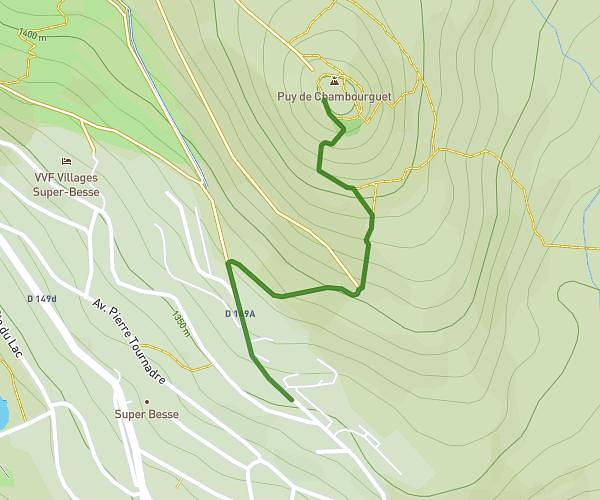
This running route covers 1.58mi starting from Antoingt, Puy-de-Dôme. The run does not return to the trailhead and ends near Route De Bergonne, 63340 Bergonne, France. This run is rated as easy, expect about 17m to complete it. The route has an elevation gain of 0ft and an elevation loss of 112ft.
Titis
Route details
5.57mph
Speed
194 kcal
Calories burned
Point to point
Route type
1490ft
Min altitude
1601ft
Max altitude
Route profile
0ft
Elevation gain
112ft
Elevation loss
1490ft
Min altitude
1601ft
Max altitude
How to get there
Trailhead: 11 Chemin Des Condamines, 63340 Antoingt, France
GPS coordinates of the trailhead: 45.500391, 3.178454 / 45°30'1'' N, 3°10'42'' E