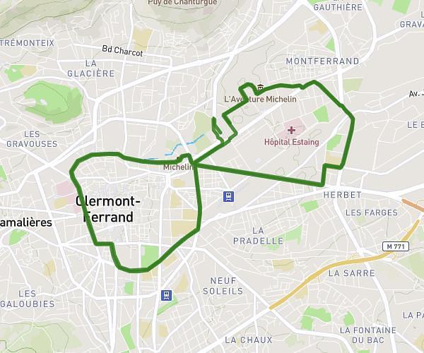
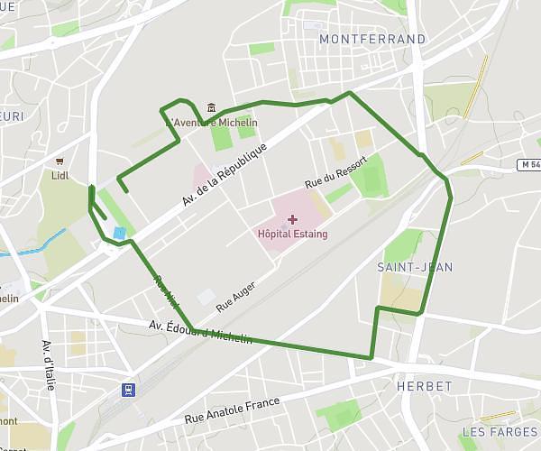
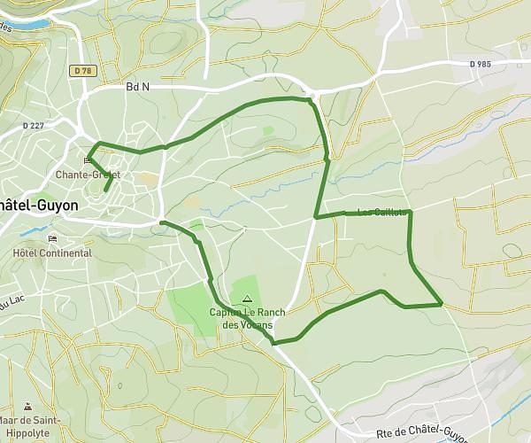
This running route covers 4.993mi starting from Cournon-d'Auvergne, Puy-de-Dôme. The run is a loop trail and returns to the trailhead. This run is rated as moderate, expect about 48m to complete it. The route has an elevation gain of 528ft and an elevation loss of 528ft.
01/05/26
Route details
6.24mph
Speed
549 kcal
Calories burned
Loop trail
Route type
1161ft
Min altitude
1581ft
Max altitude
Route profile
528ft
Elevation gain
528ft
Elevation loss
1161ft
Min altitude
1581ft
Max altitude
How to get there
Trailhead: 18 Rue Des Alouettes, 63800 Cournon-d'Auvergne, France
GPS coordinates of the trailhead: 45.735241, 3.188267 / 45°44'6'' N, 3°11'17'' E