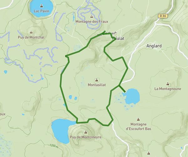
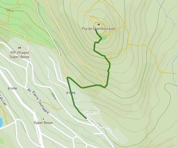
This running route covers 0.589mi starting from Besse-et-Saint-Anastaise, Puy-de-Dôme. The run does not return to the trailhead and ends near 13 Route Du Chambourguet, 63610 Besse-et-Saint-Anastaise, France. This run is rated as easy, expect about 6m19s to complete it. The route has an elevation gain of 499ft and an elevation loss of 3ft.
Jdhe
Route details
5.59mph
Speed
72 kcal
Calories burned
Point to point
Route type
4429ft
Min altitude
4925ft
Max altitude
Route profile
499ft
Elevation gain
3ft
Elevation loss
4429ft
Min altitude
4925ft
Max altitude
How to get there
Trailhead: 24 Route Du Chambourguet, 63610 Besse-et-Saint-Anastaise, France
GPS coordinates of the trailhead: 45.507324, 2.864795 / 45°30'26'' N, 2°51'53'' E