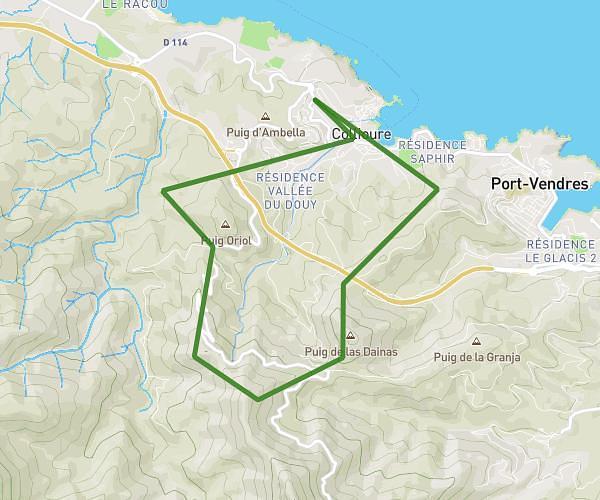
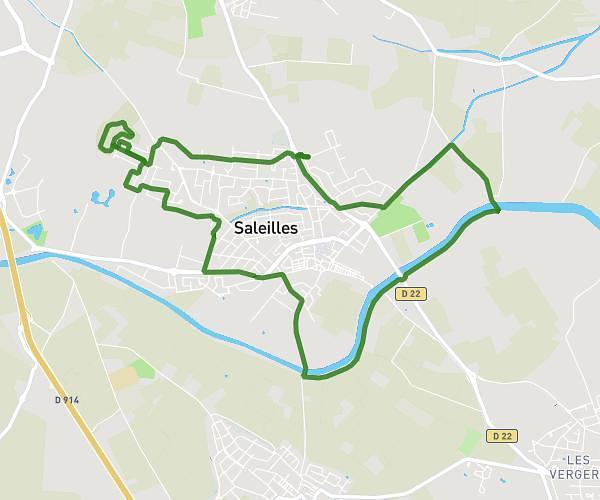
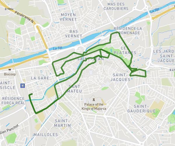
This running route covers 2.487mi starting from Canohès, Pyrénées-Orientales. The run is a loop trail and returns to the trailhead. This run is rated as easy, expect about 1h20m to complete it. The route has an elevation gain of 20ft and an elevation loss of 20ft.
Nina
Route details
1.86mph
Speed
915 kcal
Calories burned
Loop trail
Route type
213ft
Min altitude
233ft
Max altitude
Route profile
20ft
Elevation gain
20ft
Elevation loss
213ft
Min altitude
233ft
Max altitude
How to get there
Trailhead: 14 Rue Du Codron, 66680 Canohès, France
GPS coordinates of the trailhead: 42.65209, 2.82433 / 42°39'7'' N, 2°49'27'' E