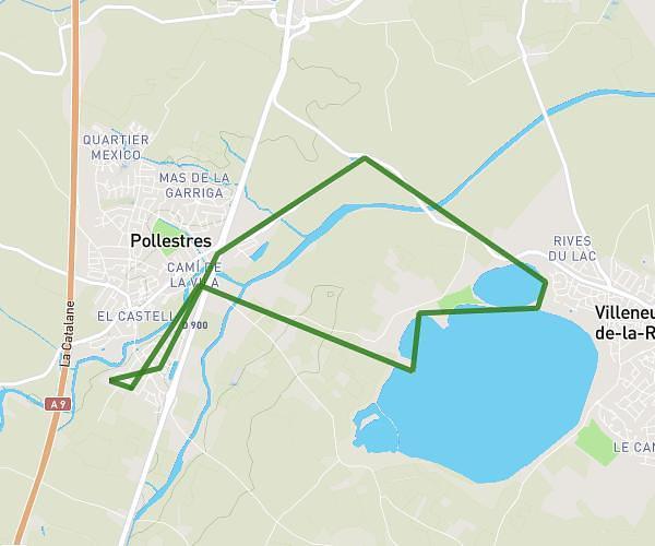
This running route covers 6.253mi starting from Saleilles, Pyrénées-Orientales. The run is a loop trail and returns to the trailhead. This run is rated as moderate, expect about 57m to complete it. The route has an elevation gain of 36ft and an elevation loss of 23ft.
10K maman
Route details
6.58mph
Speed
652 kcal
Calories burned
Loop trail
Route type
33ft
Min altitude
69ft
Max altitude
Route profile
36ft
Elevation gain
23ft
Elevation loss
33ft
Min altitude
69ft
Max altitude
How to get there
Trailhead: 1 Rue Frédérick Bousquet, 66280 Saleilles, France
GPS coordinates of the trailhead: 42.660104, 2.952834 / 42°39'36'' N, 2°57'10'' E