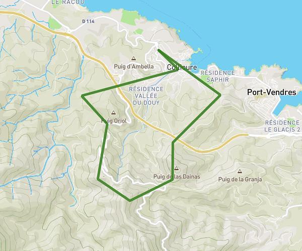
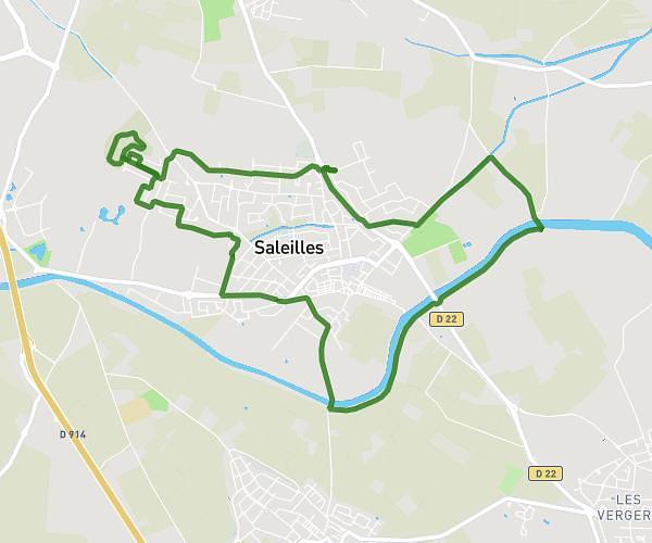
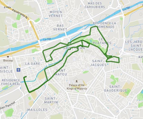
This running route covers 6.745mi starting from Pollestres, Pyrénées-Orientales. The run is a loop trail and returns to the trailhead. This run is rated as moderate, expect about 1h22m to complete it. The route has an elevation gain of 308ft and an elevation loss of 308ft.
Pour Dlf
Route details
4.93mph
Speed
938 kcal
Calories burned
Loop trail
Route type
56ft
Min altitude
190ft
Max altitude
Route profile
308ft
Elevation gain
308ft
Elevation loss
56ft
Min altitude
190ft
Max altitude
How to get there
Trailhead: 23 Rue Des Anges, 66450 Pollestres, France
GPS coordinates of the trailhead: 42.631154, 2.866982 / 42°37'52'' N, 2°52'1'' E