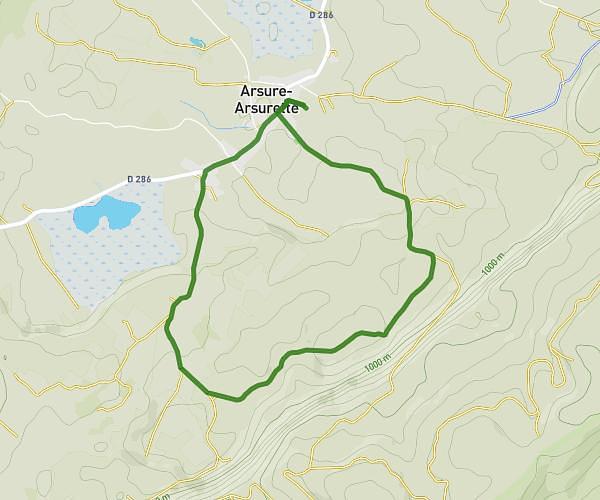
This running route covers 4.256mi starting from Ballaigues, Vaud. The run does not return to the trailhead and ends near Grange-Neuve 1, 1446 Rances, Switzerland. This run is rated as easy, expect about 2h to complete it. The route has an elevation gain of 1342ft and an elevation loss of 0ft.
Le suchet
Route details
2.13mph
Speed
1372 kcal
Calories burned
Point to point
Route type
3885ft
Min altitude
5226ft
Max altitude
Route profile
1342ft
Elevation gain
0ft
Elevation loss
3885ft
Min altitude
5226ft
Max altitude
How to get there
Trailhead: Vieille Route 1, 1338 Ballaigues, Switzerland
GPS coordinates of the trailhead: 46.745418, 6.401197 / 46°44'43'' N, 6°24'4'' E