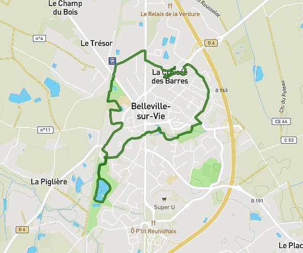
This running route covers 2.772mi starting from Aubigny-Les Clouzeaux, Vendée. The run is a loop trail and returns to the trailhead. This run is rated as easy, expect about 21m52s to complete it. The route has an elevation gain of 16ft and an elevation loss of 39ft.
N°1 4,5 Klm - 4,52 Min/Klm
Route details
7.61mph
Speed
250 kcal
Calories burned
Loop trail
Route type
177ft
Min altitude
217ft
Max altitude
Route profile
16ft
Elevation gain
39ft
Elevation loss
177ft
Min altitude
217ft
Max altitude
How to get there
Trailhead: Allée De La Lande, 85430 Aubigny-Les Clouzeaux
GPS coordinates of the trailhead: 46.59294, -1.45582 / 46°35'34'' N, 1°27'20'' W