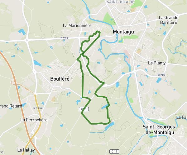
This running route covers 3.398mi starting from Bellevigny, Vendée. The run is a loop trail and returns to the trailhead. This run is rated as easy, expect about 36m to complete it. The route has an elevation gain of 164ft and an elevation loss of 164ft.
Mais
Route details
5.66mph
Speed
412 kcal
Calories burned
Loop trail
Route type
194ft
Min altitude
256ft
Max altitude
Route profile
164ft
Elevation gain
164ft
Elevation loss
194ft
Min altitude
256ft
Max altitude
How to get there
Trailhead: 30 Rue Des Mésanges, 85170 Bellevigny, France
GPS coordinates of the trailhead: 46.787811, -1.427155 / 46°47'16'' N, 1°25'37'' W