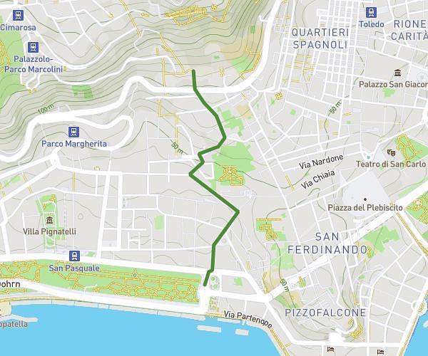
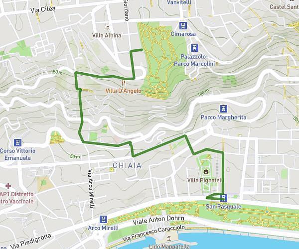
This walking route covers 2.851mi starting from Napoli, Naples. The walk does not return to the trailhead and ends near Via Vallone Dei Gerolomini, 80136 Napoli. This walk is rated as easy, plan for about 1h1m to complete it. The route has an elevation gain of 961ft and an elevation loss of 479ft.
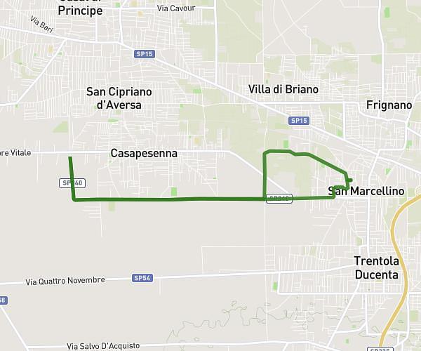
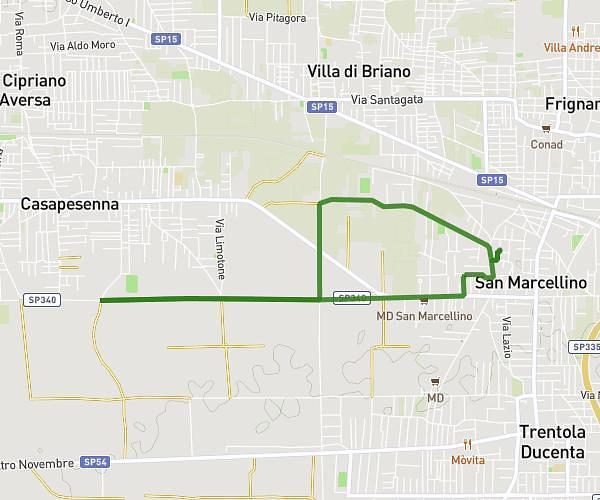
percorso 3
Route details
21:25/mi
Pace
249 kcal
Calories burned
Point to point
Route type
23ft
Min altitude
751ft
Max altitude
Route profile
961ft
Elevation gain
479ft
Elevation loss
23ft
Min altitude
751ft
Max altitude
How to get there
Trailhead: Riviera Di Chiaia, 80121 Napoli
GPS coordinates of the trailhead: 40.833, 14.24076 / 40°49'58'' N, 14°14'26'' E