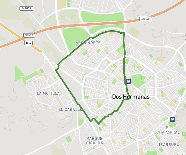
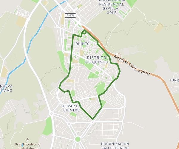
This running route covers 6.815mi starting from Mairena del Alcor, Seville. The run is a loop trail and returns to the trailhead. This run is rated as moderate, expect about 2h27m to complete it. The route has an elevation gain of 397ft and an elevation loss of 397ft.
10 kms
Route details
2.78mph
Speed
1681 kcal
Calories burned
Loop trail
Route type
367ft
Min altitude
515ft
Max altitude
Route profile
397ft
Elevation gain
397ft
Elevation loss
367ft
Min altitude
515ft
Max altitude
How to get there
Trailhead: Calle Albahaca 18, 41510 Mairena del Alcor, Seville, Spain
GPS coordinates of the trailhead: 37.369803, -5.762885 / 37°22'11'' N, 5°45'46'' W