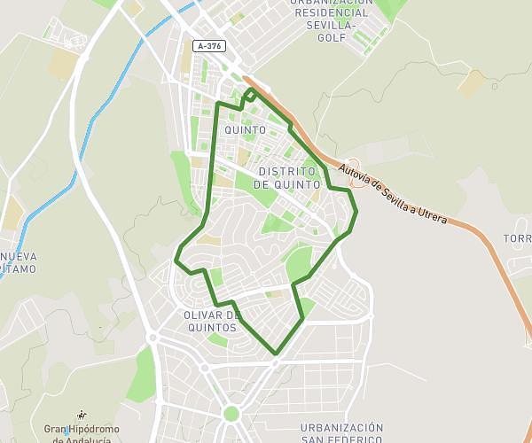
This running route covers 4.486mi starting from Dos Hermanas, Seville. The run is a loop trail and returns to the trailhead. This run is rated as easy, expect about 1h24m to complete it. The route has an elevation gain of 72ft and an elevation loss of 49ft.
7km
Route details
3.21mph
Speed
960 kcal
Calories burned
Loop trail
Route type
112ft
Min altitude
171ft
Max altitude
Route profile
72ft
Elevation gain
49ft
Elevation loss
112ft
Min altitude
171ft
Max altitude
How to get there
Trailhead: Calle Virgen De Los Desamparados, 41701 Dos Hermanas
GPS coordinates of the trailhead: 37.27757, -5.93201 / 37°16'39'' N, 5°55'55'' W