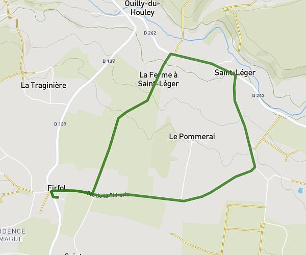
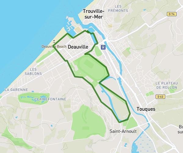
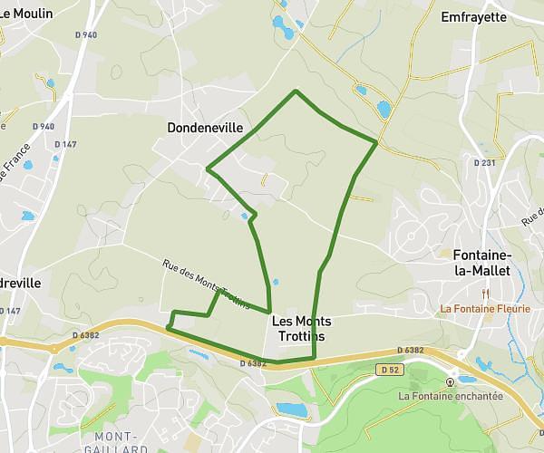
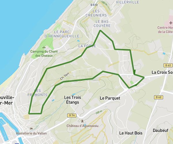
This running route covers 4.481mi starting from Gonneville-sur-Honfleur, Calvados. The run does not return to the trailhead and ends near D 144, 14600 Genneville, France. This run is rated as moderate, expect about 55m to complete it. The route has an elevation gain of 240ft and an elevation loss of 377ft.
De Gonneville sur Honfleur à Genneville
Route details
4.89mph
Speed
629 kcal
Calories burned
Point to point
Route type
226ft
Min altitude
374ft
Max altitude
Route profile
240ft
Elevation gain
377ft
Elevation loss
226ft
Min altitude
374ft
Max altitude
How to get there
Trailhead: 641 Route De Genneville, 14600 Gonneville-sur-Honfleur, France
GPS coordinates of the trailhead: 49.37508, 0.24932 / 49°22'30'' N, 0°14'57'' E