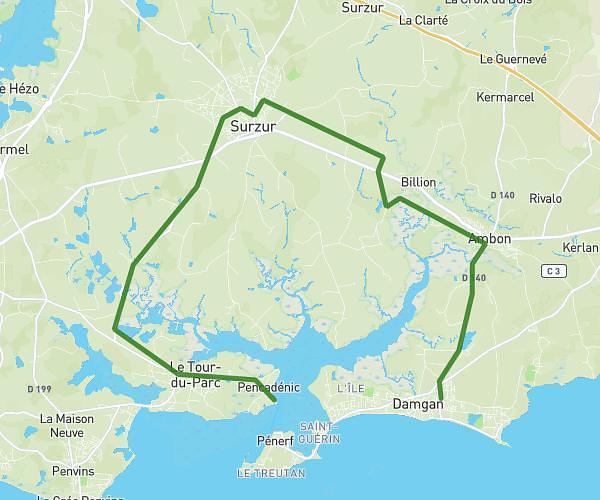
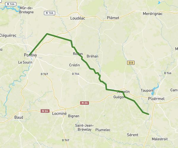
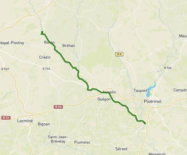
This cycling route covers 27.887mi starting from Sulniac, Morbihan. The ride is a loop trail and returns to the trailhead. This route is rated as strenuous, plan for about 2h48m to complete it. The route has an elevation gain of 1214ft and an elevation loss of 1227ft.
Sulniac Camor VTT
Route details
1489 kcal
Calories burned
1.7%
Avg grade
Loop trail
Route type
121ft
Min altitude
531ft
Max altitude
Route profile
1214ft
Elevation gain
1227ft
Elevation loss
121ft
Min altitude
531ft
Max altitude
How to get there
Trailhead: Rue Du Grand Bois, 56330 Camors
GPS coordinates of the trailhead: 47.6708, -2.58468 / 47°40'14'' N, 2°35'4'' W