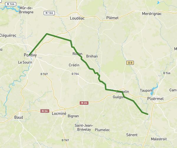
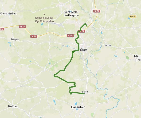
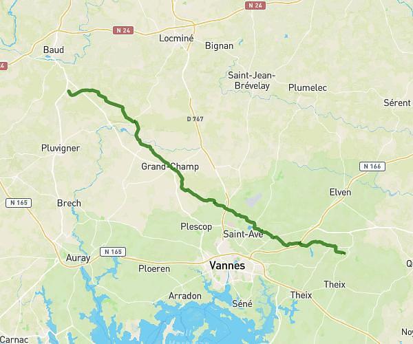
This cycling route covers 27.405mi starting from Montertelot, Morbihan. The ride does not return to the trailhead and ends near 1 Le Guer, 56920 Gueltas, France. This route is rated as hard, plan for about 2h45m to complete it. The route has an elevation gain of 915ft and an elevation loss of 712ft.
Jpp
Route details
1456 kcal
Calories burned
1.1%
Avg grade
Point to point
Route type
62ft
Min altitude
292ft
Max altitude
Route profile
915ft
Elevation gain
712ft
Elevation loss
62ft
Min altitude
292ft
Max altitude
How to get there
Trailhead: 22 Rue Du Casset, 56800 Montertelot, France
GPS coordinates of the trailhead: 47.883597, -2.426033 / 47°53'0'' N, 2°25'33'' W