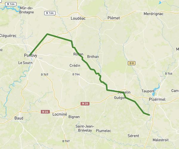
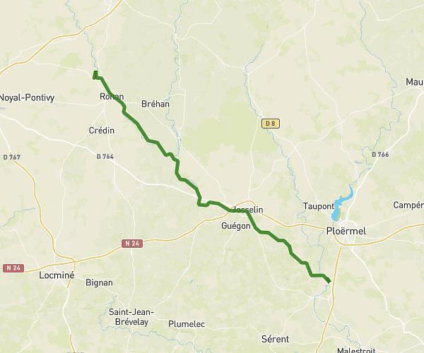
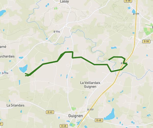
This cycling route covers 15.56mi starting from Guer, Morbihan. The ride does not return to the trailhead and ends near D 773, 56910 Carentoir, France. This route is rated as hard, plan for about 2h46m to complete it. The route has an elevation gain of 1079ft and an elevation loss of 1060ft.
Boulot
Route details
1486 kcal
Calories burned
2.6%
Avg grade
Point to point
Route type
95ft
Min altitude
387ft
Max altitude
Route profile
1079ft
Elevation gain
1060ft
Elevation loss
95ft
Min altitude
387ft
Max altitude
How to get there
Trailhead: 28 Rue De La Forestière, 56380 Guer, France
GPS coordinates of the trailhead: 47.939348, -2.114516 / 47°56'21'' N, 2°6'52'' W