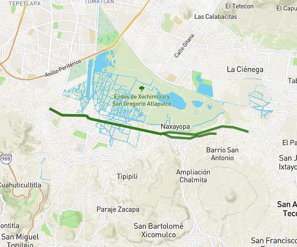
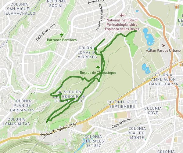
This running route covers 13.112mi starting from Mexico City, Estado de México. The run does not return to the trailhead and ends near Calle Francisco I. Madero 1007, 16740 Mexico City, Mexico. This run is rated as strenuous, expect about 6s to complete it. The route has an elevation gain of 52ft and an elevation loss of 52ft.
21km
Route details
0.5mph
Speed
1 kcal
Calories burned
Point to point
Route type
7352ft
Min altitude
7405ft
Max altitude
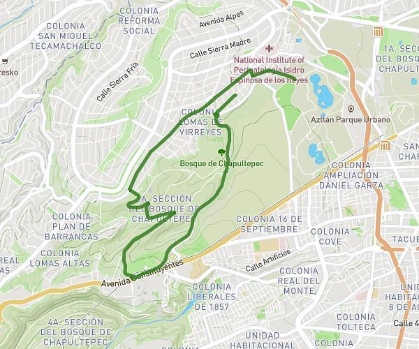
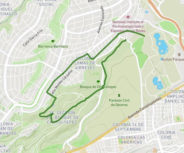
Route profile
52ft
Elevation gain
52ft
Elevation loss
7352ft
Min altitude
7405ft
Max altitude
How to get there
Trailhead: Calle Floricultura Sur 49, 16629 Mexico City, Mexico
GPS coordinates of the trailhead: 19.255114, -99.037528 / 19°15'18'' N, 99°2'15'' W