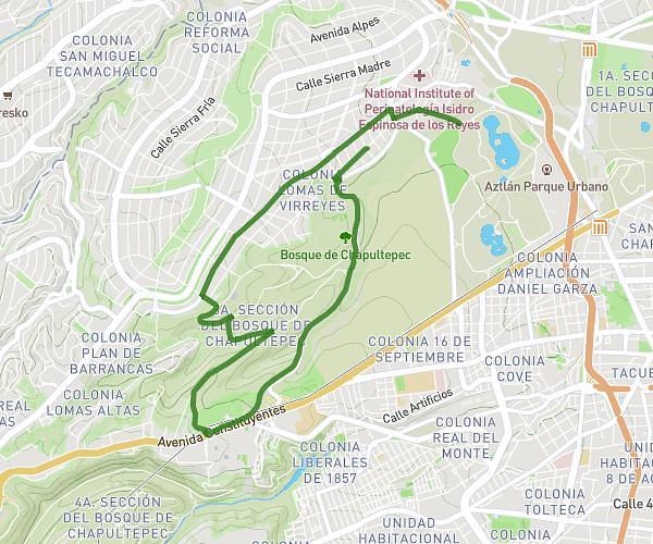
This running route covers 5.467mi starting from Mexico City, Estado de México. The run does not return to the trailhead and ends near Calle Juan O'donoju, 11100 Mexico City. This run is rated as moderate, expect about 56m to complete it. The route has an elevation gain of 600ft and an elevation loss of 663ft.
3era Sec Subida 1
Route details
5.86mph
Speed
640 kcal
Calories burned
Point to point
Route type
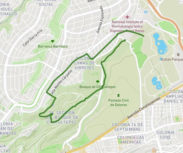
7520ft
Min altitude
7933ft
Max altitude
Route profile
600ft
Elevation gain
663ft
Elevation loss
7520ft
Min altitude
7933ft
Max altitude
How to get there
Trailhead: Avenida De Los Corregidores, 11000 Mexico City
GPS coordinates of the trailhead: 19.4175, -99.20994 / 19°25'3'' N, 99°12'35'' W