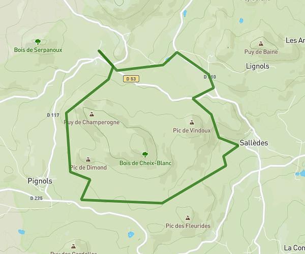
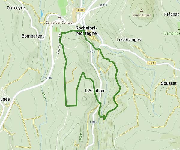
This walking route covers 7.254mi starting from Sallèdes, Puy-de-Dôme. The walk is a loop trail and returns to the trailhead. This walk is rated as hard, plan for about 2h36m to complete it. The route has an elevation gain of 1014ft and an elevation loss of 1020ft.
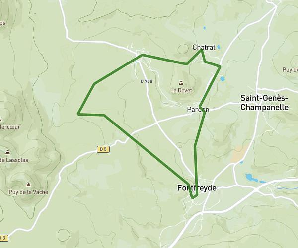
Parcours 2
Route details
21:30/mi
Pace
637 kcal
Calories burned
Loop trail
Route type
1798ft
Min altitude
2169ft
Max altitude
Route profile
1014ft
Elevation gain
1020ft
Elevation loss
1798ft
Min altitude
2169ft
Max altitude
How to get there
Trailhead: 11 Chemin De Montlou, 63270 Sallèdes, France
GPS coordinates of the trailhead: 45.65079, 3.32863 / 45°39'2'' N, 3°19'43'' E