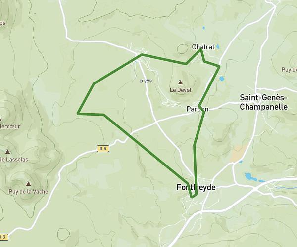
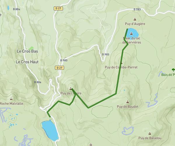
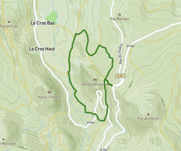
This walking route covers 3.628mi starting from Rochefort-Montagne, Puy-de-Dôme. The walk is a loop trail and returns to the trailhead. This walk is rated as moderate, plan for about 1h18m to complete it. The route has an elevation gain of 696ft and an elevation loss of 699ft.
Vallée du Chausse
Route details
21:30/mi
Pace
319 kcal
Calories burned
Loop trail
Route type
2808ft
Min altitude
3219ft
Max altitude
Route profile
696ft
Elevation gain
699ft
Elevation loss
2808ft
Min altitude
3219ft
Max altitude
How to get there
Trailhead: 14 Route De Bordas, 63210 Rochefort-Montagne, France
GPS coordinates of the trailhead: 45.682345, 2.799192 / 45°40'56'' N, 2°47'57'' E