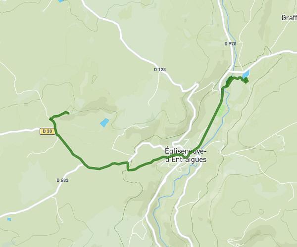
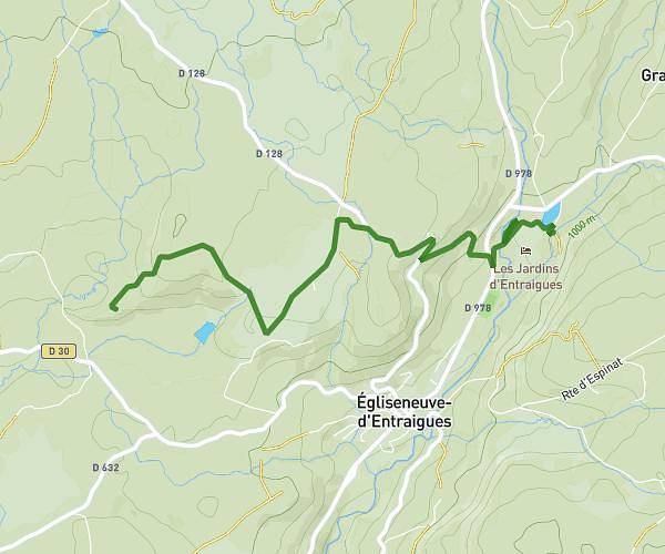
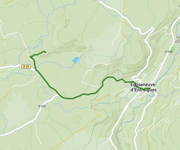
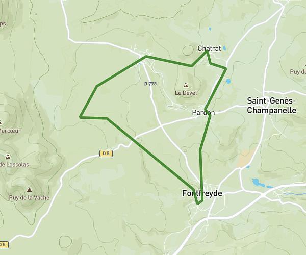
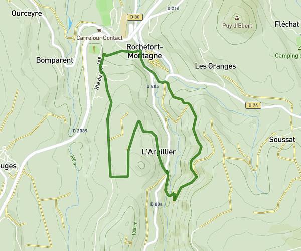
This walking route covers 4.133mi starting from Orcival, Puy-de-Dôme. The walk does not return to the trailhead and ends near D 983, 63210 Orcival, France. This walk is rated as moderate, plan for about 2h13m to complete it. The route has an elevation gain of 1073ft and an elevation loss of 1224ft.
Guéry Servières
Route details
32:11/mi
Pace
543 kcal
Calories burned
Point to point
Route type
3960ft
Min altitude
4879ft
Max altitude
Route profile
1073ft
Elevation gain
1224ft
Elevation loss
3960ft
Min altitude
4879ft
Max altitude
How to get there
Trailhead: D 983, 63210 Orcival, France
GPS coordinates of the trailhead: 45.619584, 2.821948 / 45°37'10'' N, 2°49'19'' E