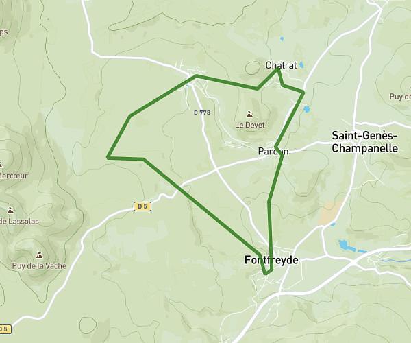
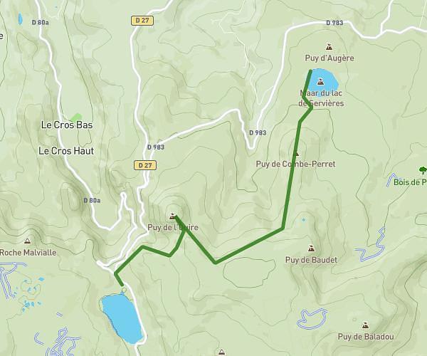
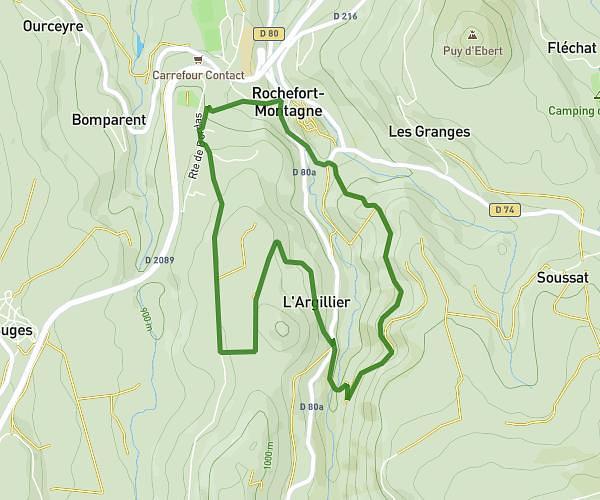
This walking route covers 2.476mi starting from Orcival, Puy-de-Dôme. The walk is a loop trail and returns to the trailhead. This walk is rated as easy, plan for about 53m to complete it. The route has an elevation gain of 804ft and an elevation loss of 797ft.
Roche Tuilleres et Sanadoire
Route details
21:25/mi
Pace
216 kcal
Calories burned
Loop trail
Route type
3343ft
Min altitude
4039ft
Max altitude
Route profile
804ft
Elevation gain
797ft
Elevation loss
3343ft
Min altitude
4039ft
Max altitude
How to get there
Trailhead: D 983, 63210 Orcival, France
GPS coordinates of the trailhead: 45.632222, 2.824621 / 45°37'55'' N, 2°49'28'' E