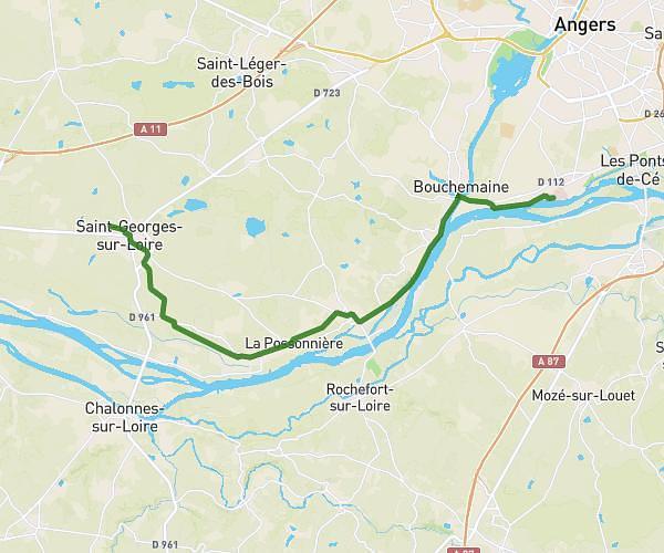
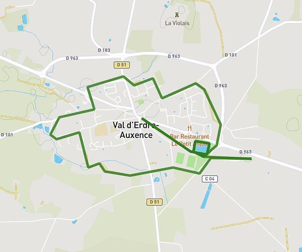
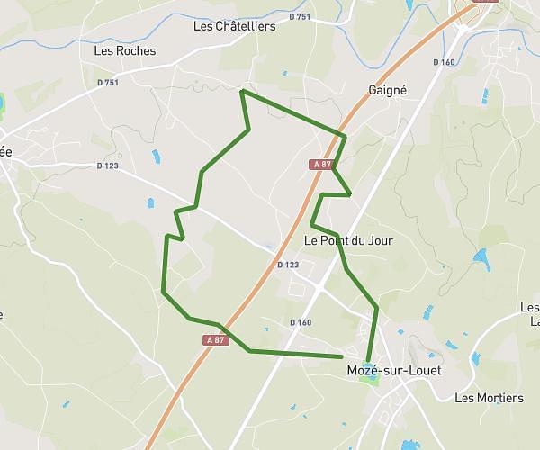
This running route covers 18.666mi starting from Angers, Maine-et-Loire. The run does not return to the trailhead and ends near Boulevard Du Général De Gaulle, 49100 Angers. This run is rated as strenuous, expect about 2h25m to complete it. The route has an elevation gain of 98ft and an elevation loss of 95ft.
SL 30km
Route details
7.72mph
Speed
1658 kcal
Calories burned
Point to point
Route type
66ft
Min altitude
164ft
Max altitude
Route profile
98ft
Elevation gain
95ft
Elevation loss
66ft
Min altitude
164ft
Max altitude
How to get there
Trailhead: Rue Béclard, 49100 Angers
GPS coordinates of the trailhead: 47.46656, -0.55116 / 47°27'59'' N, 0°33'4'' W