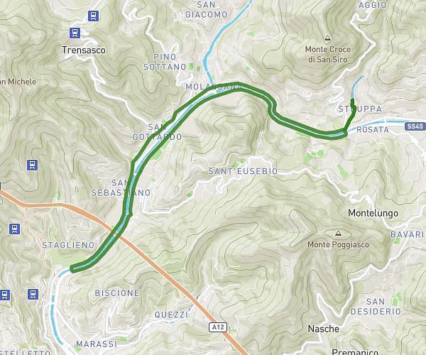
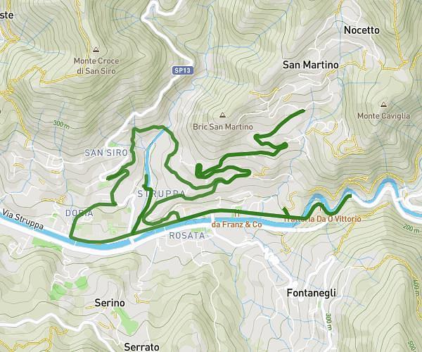
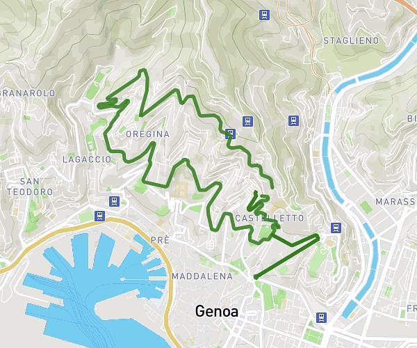
This running route covers 13.097mi starting from Genova, Genoa. The run does not return to the trailhead and ends near Via Antonio Gramsci 73, 16126 Genova Genoa, Italy. This run is rated as strenuous, expect about 2h21m to complete it. The route has an elevation gain of 7ft and an elevation loss of 187ft.
20 km
Route details
5.57mph
Speed
1612 kcal
Calories burned
Point to point
Route type
7ft
Min altitude
187ft
Max altitude
Route profile
7ft
Elevation gain
187ft
Elevation loss
7ft
Min altitude
187ft
Max altitude
How to get there
Trailhead: Piazza Goffredo Villa 42, 16124 Genova Genoa, Italy
GPS coordinates of the trailhead: 44.414482, 8.933464 / 44°24'52'' N, 8°56'0'' E