MapPlanner
7.64mi
Distance
1h17s
Duration
7:53/mi
Pace
Hard
Level

10/06/2023

Route details

7.61mph
Speed
689 kcal
Calories burned
Loop trail
Route type
141ft
Min altitude
781ft
Max altitude

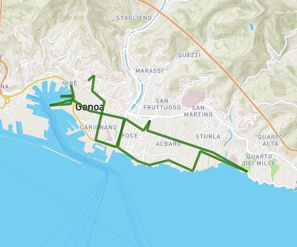
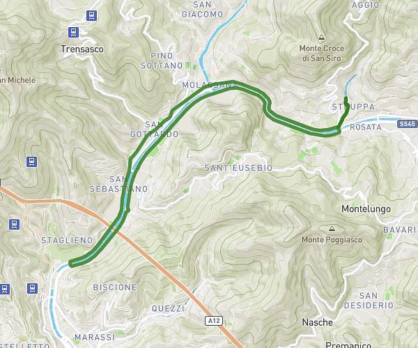
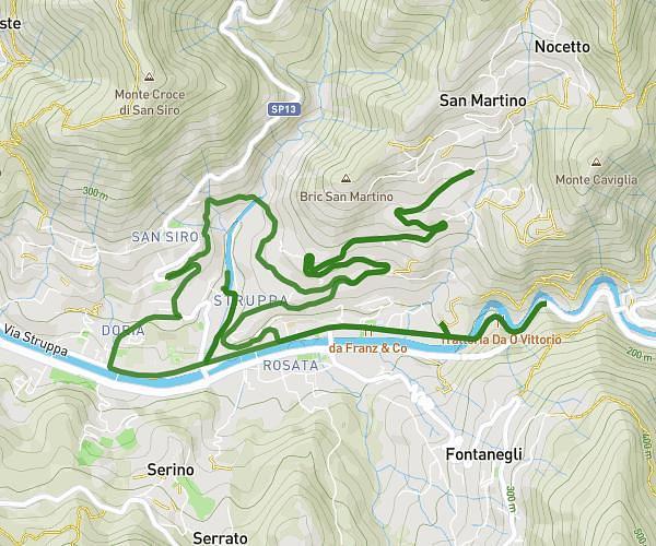
This running route covers 7.64mi starting from Genova, Genoa. The run is a loop trail and returns to the trailhead. This run is rated as hard, expect about 1h17s to complete it. The route has an elevation gain of 1755ft and an elevation loss of 1880ft.

Route profile

1755ft
Elevation gain
1880ft
Elevation loss
141ft
Min altitude
781ft
Max altitude

How to get there

Trailhead: Via Domenico Chiodo, 16136 Genova

GPS coordinates of the trailhead: 44.41824, 8.9408 / 44°25'5'' N, 8°56'26'' E

Caution: May Cross Private Property

This route may pass through or near private property. Always respect posted signs, obtain permission where required, and follow local trespassing laws. MapPlanner does not guarantee public access along any route.

Safety Notice

Trail and road conditions may change without notice due to weather, construction, or other factors. Always verify current conditions before heading out. You are responsible for your own safety — follow local signage, obey traffic laws, and use your best judgment on the trail.