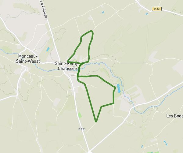
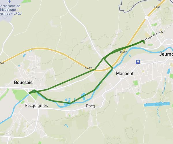
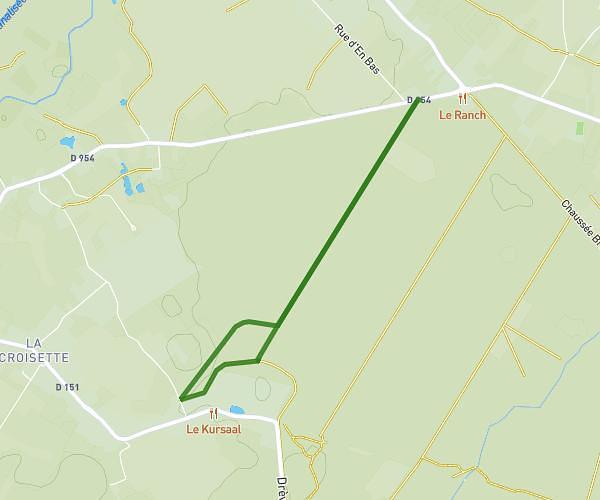
This walking route covers 6.291mi starting from Étrœungt, Nord. The walk is a loop trail and returns to the trailhead. This walk is rated as hard, plan for about 2h14m to complete it. The route has an elevation gain of 509ft and an elevation loss of 509ft.
Marche à l'étoile
Route details
21:27/mi
Pace
551 kcal
Calories burned
Loop trail
Route type
499ft
Min altitude
636ft
Max altitude
Route profile
509ft
Elevation gain
509ft
Elevation loss
499ft
Min altitude
636ft
Max altitude
How to get there
Trailhead: 19 Rue Émile Wautier, 59219 Étrœungt, France
GPS coordinates of the trailhead: 50.057558, 3.929138 / 50°3'27'' N, 3°55'44'' E