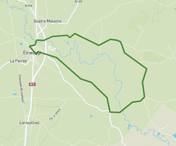
This walking route covers 4.213mi starting from Saint-Remy-Chaussée, Nord. The walk is a loop trail and returns to the trailhead. This walk is rated as moderate, plan for about 2h29m to complete it. The route has an elevation gain of 295ft and an elevation loss of 292ft.
journée campagnarde 2023
Route details
35:22/mi
Pace
608 kcal
Calories burned
Loop trail
Route type
463ft
Min altitude
597ft
Max altitude
Route profile
295ft
Elevation gain
292ft
Elevation loss
463ft
Min altitude
597ft
Max altitude
How to get there
Trailhead: Route De Saint-Aubin, 59620 Saint-Remy-Chaussée
GPS coordinates of the trailhead: 50.17224, 3.87208 / 50°10'20'' N, 3°52'19'' E