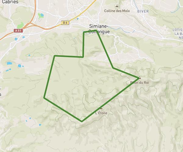
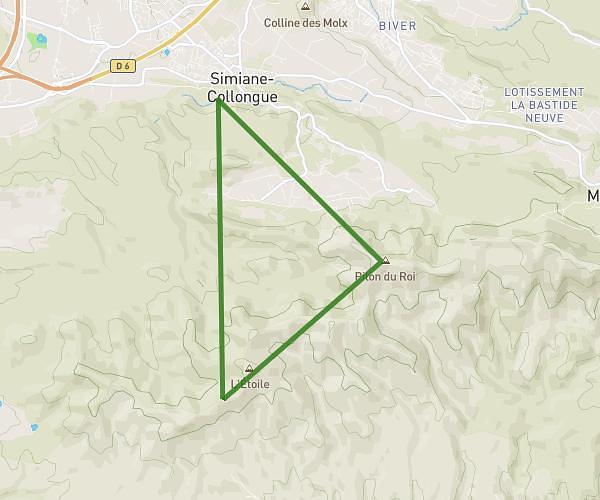
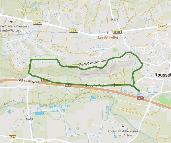
This running route covers 3.055mi starting from Venelles, Bouches-du-Rhône. The run is a loop trail and returns to the trailhead. This run is rated as easy, expect about 30m to complete it. The route has an elevation gain of 56ft and an elevation loss of 85ft.
Footing fôret Venelles
Route details
6.11mph
Speed
343 kcal
Calories burned
Loop trail
Route type
1270ft
Min altitude
1355ft
Max altitude
Route profile
56ft
Elevation gain
85ft
Elevation loss
1270ft
Min altitude
1355ft
Max altitude
How to get there
Trailhead: Chemin Collet Redon, 13770 Venelles, France
GPS coordinates of the trailhead: 43.5967, 5.49382 / 43°35'48'' N, 5°29'37'' E