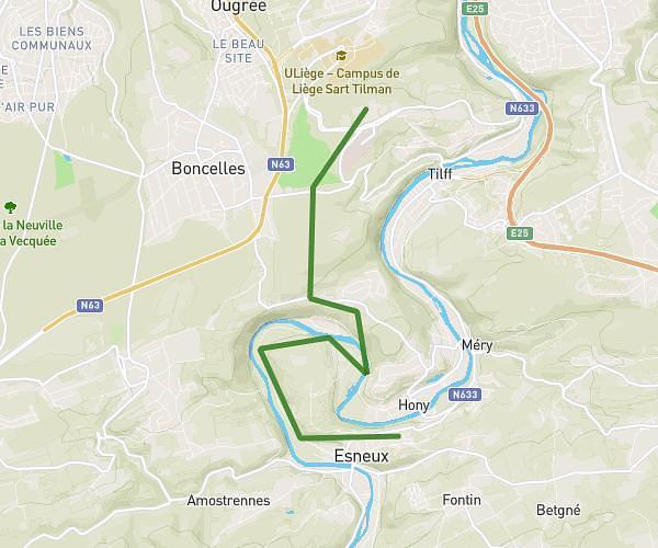
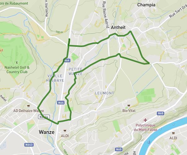
This running route covers 3.086mi starting from Liege, Soumagne. The run does not return to the trailhead and ends near Rue De L'egalité 152, 4630 Soumagne, Liege, Belgium. This run is rated as easy, expect about 19m to complete it. The route has an elevation gain of 184ft and an elevation loss of 108ft.
ecole
Route details
9.75mph
Speed
217 kcal
Calories burned
Point to point
Route type
715ft
Min altitude
899ft
Max altitude
Route profile
184ft
Elevation gain
108ft
Elevation loss
715ft
Min altitude
899ft
Max altitude
How to get there
Trailhead: Rue Foxhalle 7, 4630 Soumagne, Liege, Belgium
GPS coordinates of the trailhead: 50.608, 5.71817 / 50°36'28'' N, 5°43'5'' E