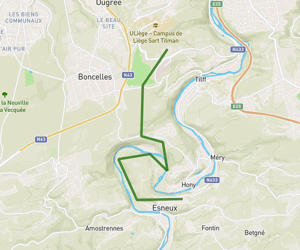
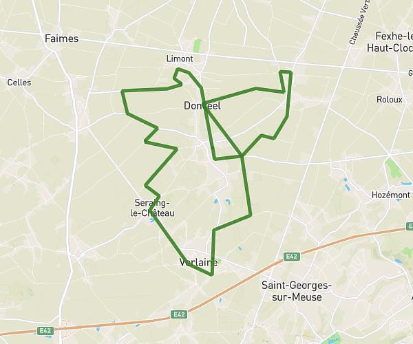
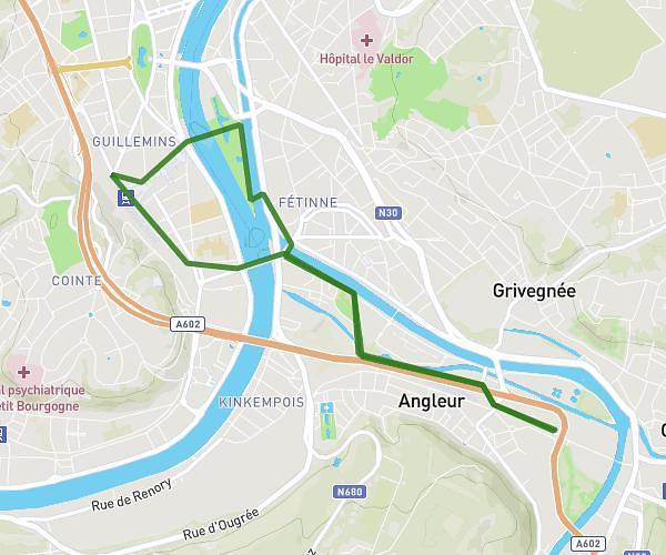
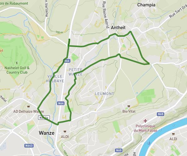
This running route covers 8.474mi starting from Liège, Liege. The run does not return to the trailhead and ends near Rue Gravier De Ransy 68, 4051 Chaudfontaine, Liege, Belgium. This run is rated as hard, expect about 2h16m to complete it. The route has an elevation gain of 942ft and an elevation loss of 932ft.
Jogging du dimanche
Route details
3.73mph
Speed
1559 kcal
Calories burned
Point to point
Route type
210ft
Min altitude
440ft
Max altitude
Route profile
942ft
Elevation gain
932ft
Elevation loss
210ft
Min altitude
440ft
Max altitude
How to get there
Trailhead: Rue Saint-Jacques 50, 4031 Liège, Liege, Belgium
GPS coordinates of the trailhead: 50.611051, 5.606597 / 50°36'39'' N, 5°36'23'' E