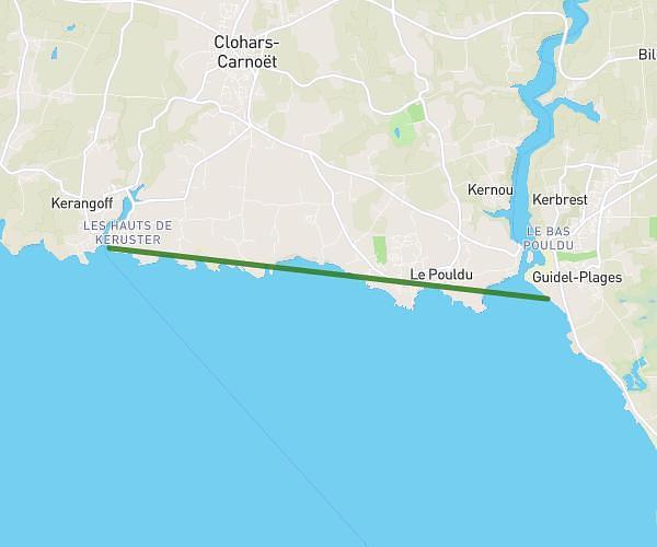
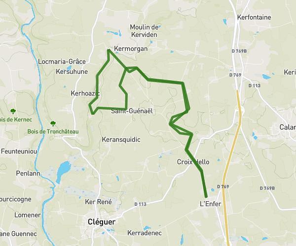
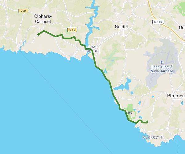
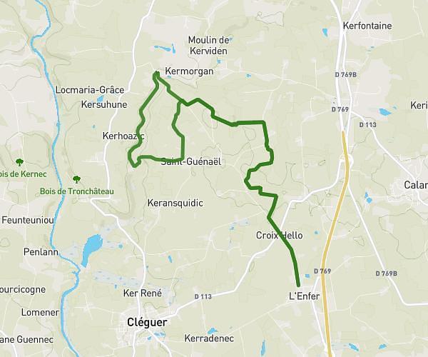
This hiking trail covers 18.278mi starting from Plouay, Morbihan. The hike does not return to the trailhead and ends near Rue Trottier, 56700 Hennebont. This hike is rated as moderate, plan for about 9h31m to complete it. The route has an elevation gain of 66ft and an elevation loss of 299ft.
2nde classe 3
Route details
1.92mph
Speed
4002 kcal
Calories burned
0.4%
Avg grade
Point to point
Route type
102ft
Min altitude
341ft
Max altitude
Route profile
66ft
Elevation gain
299ft
Elevation loss
102ft
Min altitude
341ft
Max altitude
How to get there
Trailhead: D 102, 56240 Plouay
GPS coordinates of the trailhead: 47.91561, -3.31256 / 47°54'56'' N, 3°18'45'' W