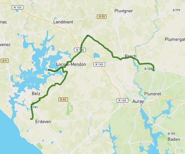
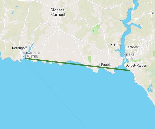
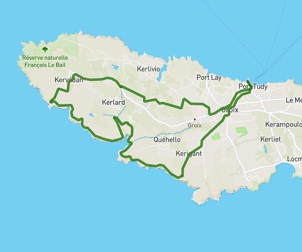
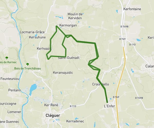
This hiking trail covers 10.181mi starting from Ploemeur, Morbihan. The hike does not return to the trailhead and ends near 1109 Kervec, 29360 Clohars-Carnoët, France. This hike is rated as moderate, plan for about 5h27m to complete it. The route has an elevation gain of 472ft and an elevation loss of 397ft.
Jour 1
Route details
1.86mph
Speed
2327 kcal
Calories burned
1.6%
Avg grade
Point to point
Route type
0ft
Min altitude
144ft
Max altitude
Route profile
472ft
Elevation gain
397ft
Elevation loss
0ft
Min altitude
144ft
Max altitude
How to get there
Trailhead: 22 Kerbistoret, 56270 Ploemeur, France
GPS coordinates of the trailhead: 47.715443, -3.461649 / 47°42'55'' N, 3°27'41'' W