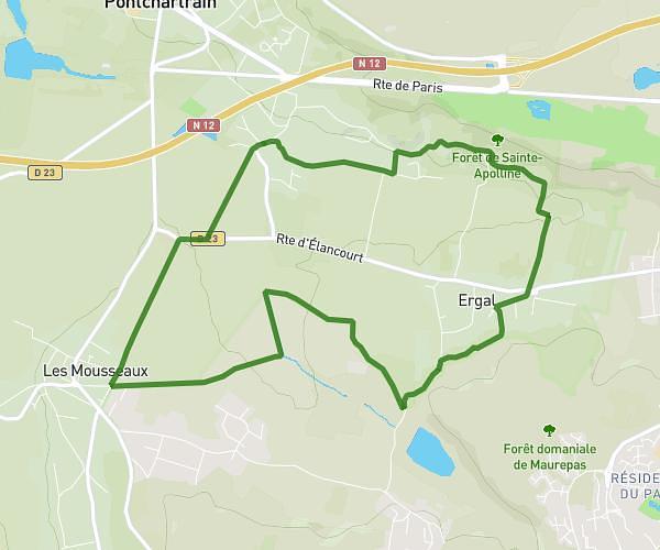
This walking route covers 0.318mi starting from Beynes, Yvelines. The walk does not return to the trailhead and ends near 8 Place Du 8 Mai 1945, 78650 Beynes, France. This walk is rated as easy, plan for about 7m to complete it. The route has an elevation gain of 16ft and an elevation loss of 62ft.
bureau
Route details
22:00/mi
Pace
29 kcal
Calories burned
Point to point
Route type
161ft
Min altitude
213ft
Max altitude
Route profile
16ft
Elevation gain
62ft
Elevation loss
161ft
Min altitude
213ft
Max altitude
How to get there
Trailhead: 9 Rue Moreau, 78650 Beynes, France
GPS coordinates of the trailhead: 48.85313, 1.87448 / 48°51'11'' N, 1°52'28'' E