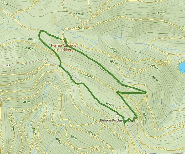
This hiking trail covers 20.526mi starting from Sewen, Haut-Rhin. The hike does not return to the trailhead and ends near 68700, Uffholtz, Haut-Rhin, France. This hike is rated as strenuous, plan for about 8h45m to complete it. The route has an elevation gain of 4196ft and an elevation loss of 4541ft.
Deuxième jour randonnée Vosges
Route details
2.35mph
Speed
3912 kcal
Calories burned
8.1%
Avg grade
Point to point
Route type
1102ft
Min altitude
3747ft
Max altitude
Steep climb
Route profile
4196ft
Elevation gain
4541ft
Elevation loss
1102ft
Min altitude
3747ft
Max altitude
How to get there
Trailhead: 68290, Sewen, Haut-Rhin, France
GPS coordinates of the trailhead: 47.81971, 6.90715 / 47°49'10'' N, 6°54'25'' E