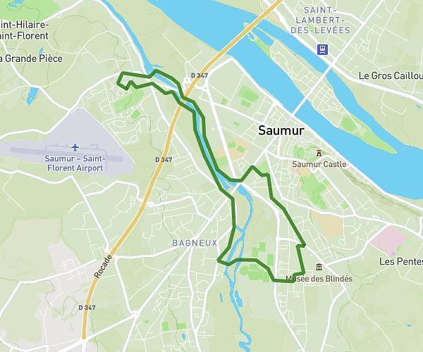
This cycling route covers 51.356mi starting from Saumur, Maine-et-Loire. The ride does not return to the trailhead and ends near 892 Rue Du Paradis, 37510 Savonnières, France. This route is rated as strenuous, plan for about 4h7m to complete it. The route has an elevation gain of 400ft and an elevation loss of 351ft.
premiere
Route details
2174 kcal
Calories burned
0.3%
Avg grade
Point to point
Route type
92ft
Min altitude
269ft
Max altitude
Route profile
400ft
Elevation gain
351ft
Elevation loss
92ft
Min altitude
269ft
Max altitude
How to get there
Trailhead: Route D'angers, 49400 Saumur, France
GPS coordinates of the trailhead: 47.2735, -0.07932 / 47°16'24'' N, 0°4'45'' W