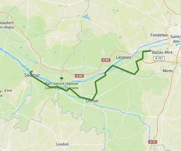
This cycling route covers 6.198mi starting from Saumur, Maine-et-Loire. The ride is a loop trail and returns to the trailhead. This route is rated as easy, plan for about 37m to complete it. The route has an elevation gain of 89ft and an elevation loss of 56ft.
Chemin Vert
Route details
325 kcal
Calories burned
0.4%
Avg grade
Loop trail
Route type
85ft
Min altitude
157ft
Max altitude
Route profile
89ft
Elevation gain
56ft
Elevation loss
85ft
Min altitude
157ft
Max altitude
How to get there
Trailhead: Allée Marie-Agnès Besgnard, 49400 Saumur
GPS coordinates of the trailhead: 47.26445, -0.1048 / 47°15'52'' N, 0°6'17'' W