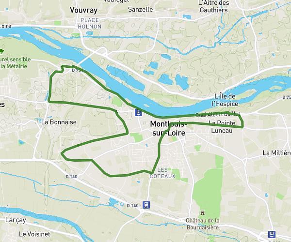
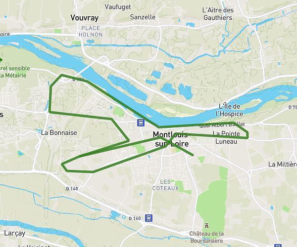
This running route covers 2.607mi starting from Tours, Indre-et-Loire. The run is a loop trail and returns to the trailhead. This run is rated as easy, expect about 25m to complete it. The route has an elevation gain of 131ft and an elevation loss of 131ft.
4 km départ campus
Route details
6.26mph
Speed
286 kcal
Calories burned
Loop trail
Route type
144ft
Min altitude
190ft
Max altitude
Route profile
131ft
Elevation gain
131ft
Elevation loss
144ft
Min altitude
190ft
Max altitude
How to get there
Trailhead: 10 Rue Léo Delibes, 37200 Tours, France
GPS coordinates of the trailhead: 47.36519, 0.70508 / 47°21'54'' N, 0°42'18'' E