MapPlanner
1.148mi
Distance
8m
Duration
+135ft
Elevation gain
-141ft
Elevation loss
Easy
Level

hopi

Route details

8.61mph
Speed
58 kcal
Calories burned
4.5%
Avg grade
Loop trail
Route type
46ft
Min altitude
148ft
Max altitude

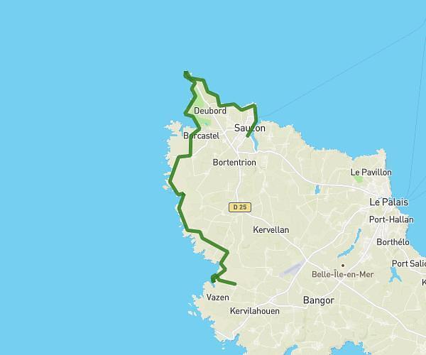
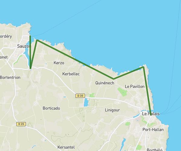
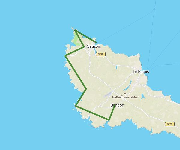
This hiking trail covers 1.148mi starting from Le Palais, Morbihan. The hike is a loop trail and returns to the trailhead. This hike is rated as easy, plan for about 8m to complete it. The route has an elevation gain of 135ft and an elevation loss of 141ft.

Route profile

135ft
Elevation gain
141ft
Elevation loss
46ft
Min altitude
148ft
Max altitude

How to get there

Trailhead: Rue C. Fechant, 56360 Le Palais, France

GPS coordinates of the trailhead: 47.346469, -3.153589 / 47°20'47'' N, 3°9'12'' W

Caution: May Cross Private Property

This route may pass through or near private property. Always respect posted signs, obtain permission where required, and follow local trespassing laws. MapPlanner does not guarantee public access along any route.

Safety Notice

Trail and road conditions may change without notice due to weather, construction, or other factors. Always verify current conditions before heading out. You are responsible for your own safety — follow local signage, obey traffic laws, and use your best judgment on the trail.