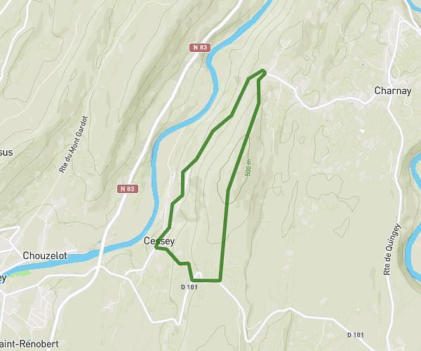
This running route covers 10.63mi starting from Les Monts-Ronds, Doubs. The run is a loop trail and returns to the trailhead. This run is rated as hard, expect about 1h24m to complete it. The route has an elevation gain of 95ft and an elevation loss of 52ft.
Merey 17
Route details
7.59mph
Speed
960 kcal
Calories burned
Loop trail
Route type
1480ft
Min altitude
1572ft
Max altitude
Route profile
95ft
Elevation gain
52ft
Elevation loss
1480ft
Min altitude
1572ft
Max altitude
How to get there
Trailhead: Rue Des Hirondelles, 25660 Les Monts-Ronds
GPS coordinates of the trailhead: 47.15765, 6.07026 / 47°9'27'' N, 6°4'12'' E