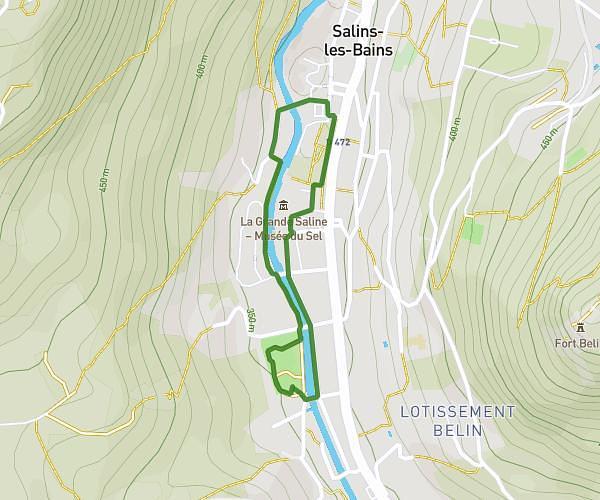
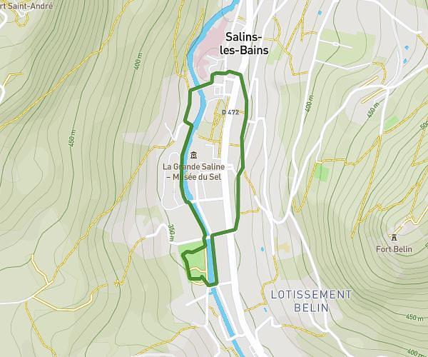
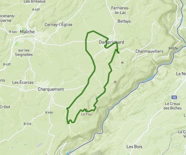
This running route covers 4.537mi starting from Cessey, Doubs. The run is a loop trail and returns to the trailhead. This run is rated as easy, expect about 48m40s to complete it. The route has an elevation gain of 853ft and an elevation loss of 850ft.
Chez kiki
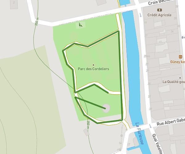
Route details
5.59mph
Speed
556 kcal
Calories burned
Loop trail
Route type
1017ft
Min altitude
1765ft
Max altitude
Route profile
853ft
Elevation gain
850ft
Elevation loss
1017ft
Min altitude
1765ft
Max altitude
How to get there
Trailhead: 21 Rue Grande, 25440 Cessey, France
GPS coordinates of the trailhead: 47.10836, 5.913688 / 47°6'30'' N, 5°54'49'' E