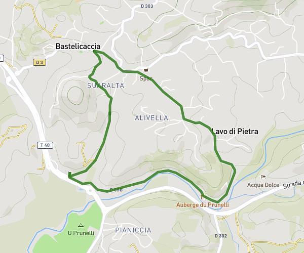
This running route covers 3.058mi starting from Porto-Vecchio, Corse-du-Sud. The run is a loop trail and returns to the trailhead. This run is rated as easy, expect about 33m to complete it. The route has an elevation gain of 200ft and an elevation loss of 200ft.
Test Jogg Corse
Route details
5.56mph
Speed
377 kcal
Calories burned
Loop trail
Route type
-3ft
Min altitude
128ft
Max altitude
Route profile
200ft
Elevation gain
200ft
Elevation loss
-3ft
Min altitude
128ft
Max altitude
How to get there
Trailhead: Strada Santa Catalina, 20137 Porto-Vecchio, France
GPS coordinates of the trailhead: 41.586244, 9.276094 / 41°35'10'' N, 9°16'33'' E