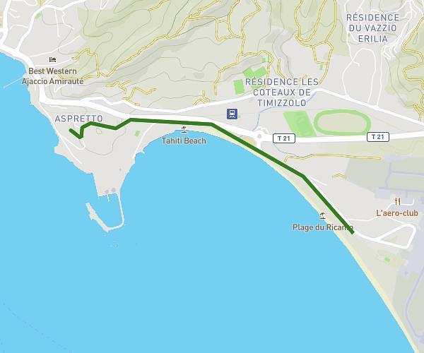
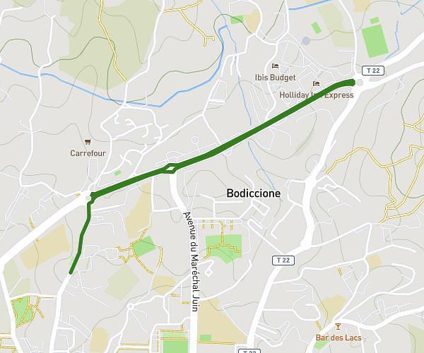
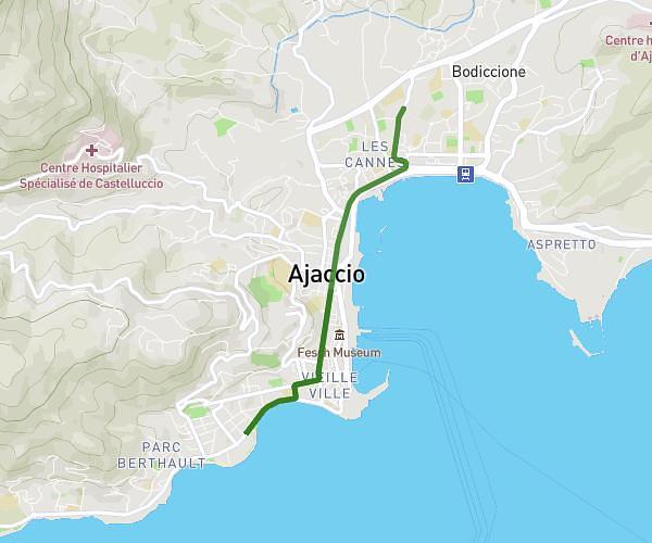
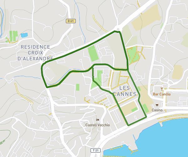
This running route covers 2.98mi starting from Bastelicaccia, Corse-du-Sud. The run is a loop trail and returns to the trailhead. This run is rated as easy, expect about 1h4m to complete it. The route has an elevation gain of 75ft and an elevation loss of 180ft.
Marche
Route details
2.8mph
Speed
732 kcal
Calories burned
Loop trail
Route type
36ft
Min altitude
217ft
Max altitude
Route profile
75ft
Elevation gain
180ft
Elevation loss
36ft
Min altitude
217ft
Max altitude
How to get there
Trailhead: Chemin De Suarata Vecchia, 20129 Bastelicaccia
GPS coordinates of the trailhead: 41.91877, 8.82704 / 41°55'7'' N, 8°49'37'' E