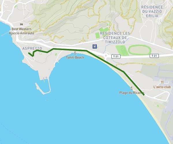
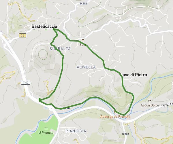
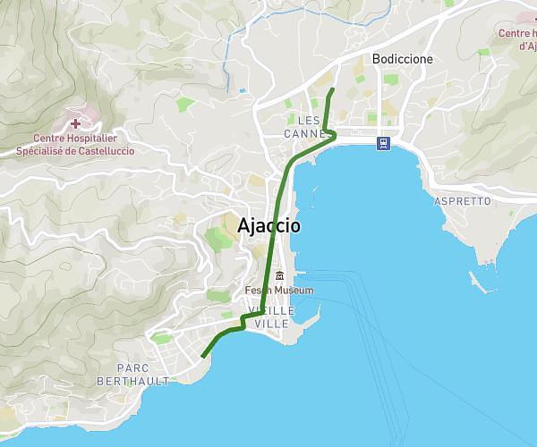
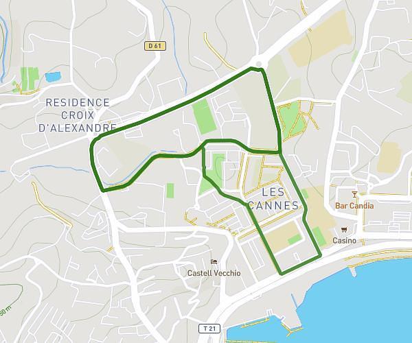
This running route covers 3.141mi starting from Ajaccio, Corse-du-Sud. The run is a loop trail and returns to the trailhead. This run is rated as easy, expect about 1h5m to complete it. The route has an elevation gain of 180ft and an elevation loss of 180ft.
rando 003 ?
Route details
2.9mph
Speed
743 kcal
Calories burned
Loop trail
Route type
69ft
Min altitude
121ft
Max altitude
Route profile
180ft
Elevation gain
180ft
Elevation loss
69ft
Min altitude
121ft
Max altitude
How to get there
Trailhead: 22 Avenue Maréchal Lyautey, 20090 Ajaccio, France
GPS coordinates of the trailhead: 41.93855, 8.74526 / 41°56'18'' N, 8°44'42'' E