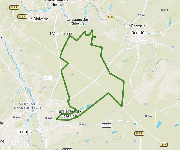
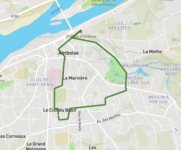
This running route covers 7.842mi starting from Francueil, Indre-et-Loire. The run does not return to the trailhead and ends near 37150 Bléré. This run is rated as hard, expect about 1h15m to complete it. The route has an elevation gain of 302ft and an elevation loss of 240ft.
Francueil - carrière test
Route details
6.21mph
Speed
866 kcal
Calories burned
Point to point
Route type
171ft
Min altitude
289ft
Max altitude
Route profile
302ft
Elevation gain
240ft
Elevation loss
171ft
Min altitude
289ft
Max altitude
How to get there
Trailhead: Rue Du Moulin Neuf, 37150 Francueil
GPS coordinates of the trailhead: 47.31216, 1.08096 / 47°18'43'' N, 1°4'51'' E