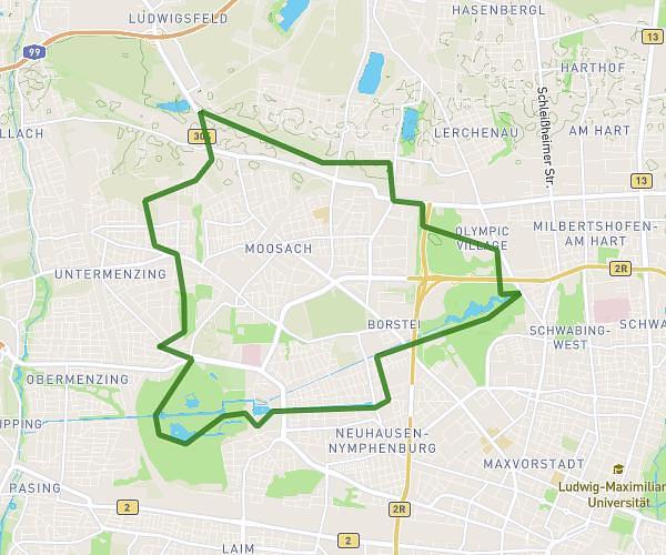
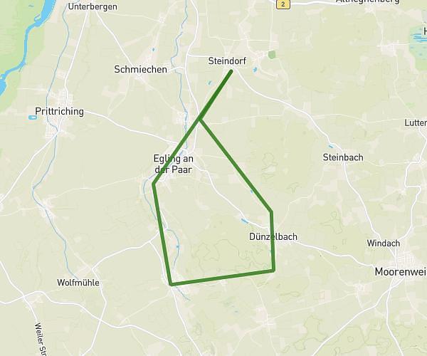
This running route covers 1.749mi starting from Grafrath, Bavaria. The run is a loop trail and returns to the trailhead. This run is rated as easy, expect about 19m to complete it. The route has an elevation gain of 52ft and an elevation loss of 89ft.
Zur Holzböcke über unteralting
Route details
5.52mph
Speed
217 kcal
Calories burned
Loop trail
Route type
1762ft
Min altitude
1850ft
Max altitude
Route profile
52ft
Elevation gain
89ft
Elevation loss
1762ft
Min altitude
1850ft
Max altitude
How to get there
Trailhead: Zur Amperschlucht 1, 82284 Grafrath, Germany
GPS coordinates of the trailhead: 48.12389, 11.17207 / 48°7'26'' N, 11°10'19'' E