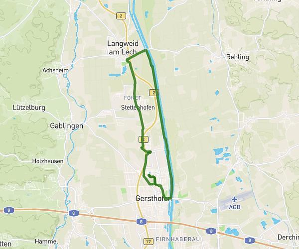
This running route covers 13.333mi starting from Steindorf, Bavaria. The run is a loop trail and returns to the trailhead. This run is rated as strenuous, expect about 2h23m to complete it. The route has an elevation gain of 768ft and an elevation loss of 768ft.
Halbmarathon
Route details
5.59mph
Speed
1635 kcal
Calories burned
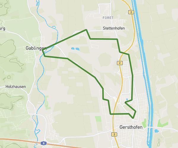
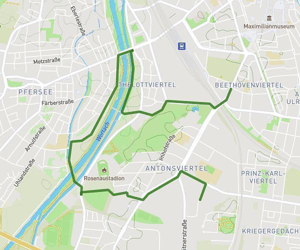
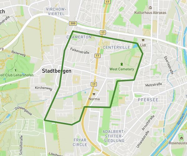
Loop trail
Route type
1755ft
Min altitude
1975ft
Max altitude
Route profile
768ft
Elevation gain
768ft
Elevation loss
1755ft
Min altitude
1975ft
Max altitude
How to get there
Trailhead: Weiherweg 11, 82297 Steindorf, Germany
GPS coordinates of the trailhead: 48.213159, 11.003771 / 48°12'47'' N, 11°0'13'' E