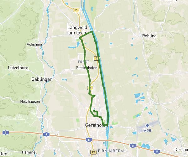
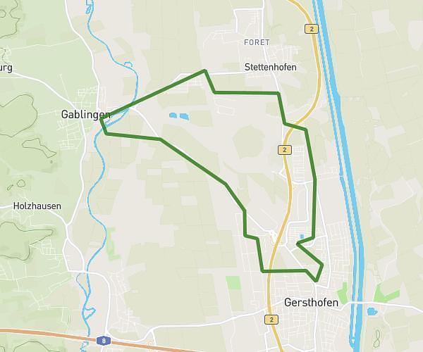
This running route covers 4.118mi starting from Augsburg, Bavaria. The run is a loop trail and returns to the trailhead. This run is rated as easy, expect about 44m to complete it. The route has an elevation gain of 3ft and an elevation loss of 16ft.
Joggen
Route details
5.62mph
Speed
503 kcal
Calories burned
Loop trail
Route type
1575ft
Min altitude
1591ft
Max altitude
Route profile
3ft
Elevation gain
16ft
Elevation loss
1575ft
Min altitude
1591ft
Max altitude
How to get there
Trailhead: Tylerstraße 15a, 86156 Augsburg, Germany
GPS coordinates of the trailhead: 48.373316, 10.848411 / 48°22'23'' N, 10°50'54'' E