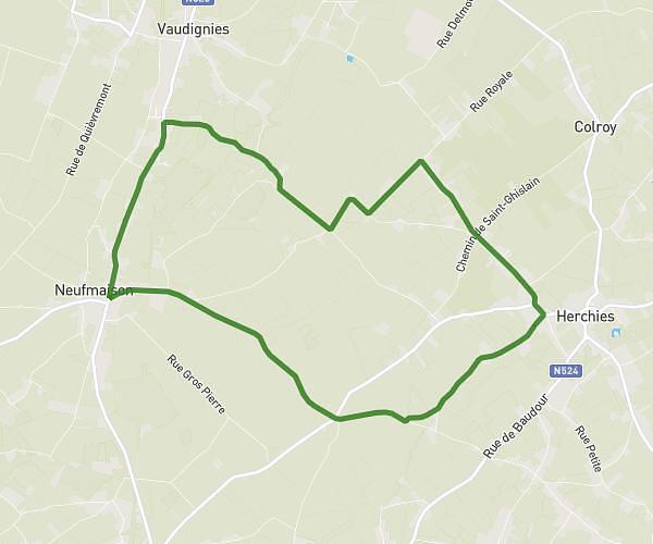
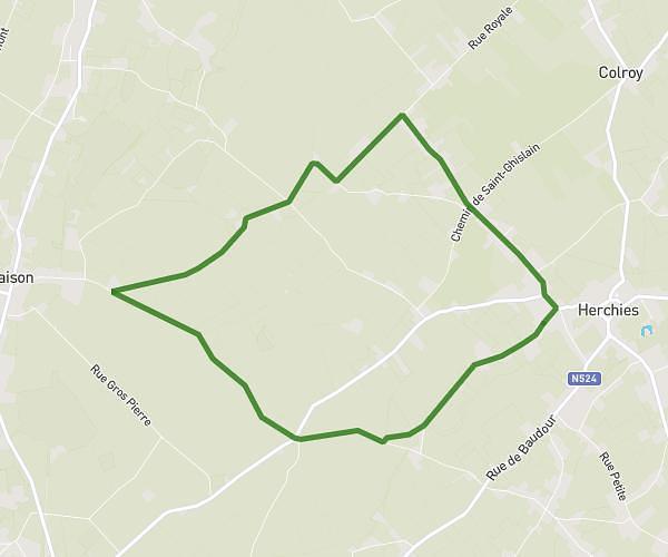
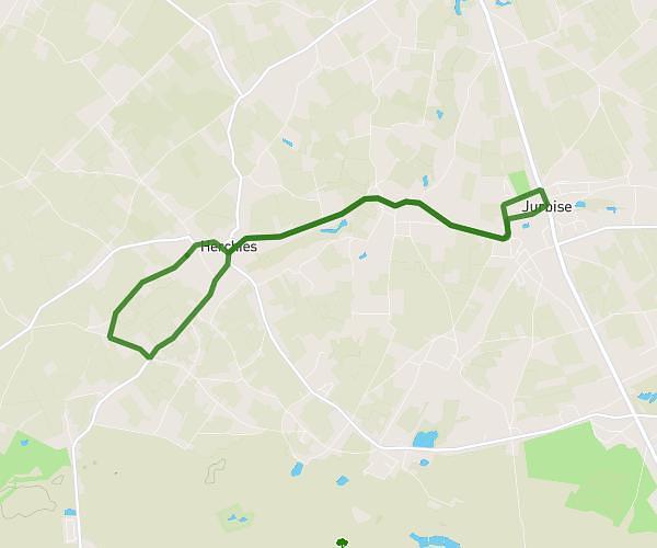
This running route covers 8.763mi starting from Frameries, Hainaut. The run does not return to the trailhead and ends near Route De Bavay 5, 7080 Frameries, Hainaut, Belgium. This run is rated as hard, expect about 1h34m to complete it. The route has an elevation gain of 453ft and an elevation loss of 446ft.
14 km allure semi au départ de Frameriess
Route details
5.59mph
Speed
1075 kcal
Calories burned
Point to point
Route type
131ft
Min altitude
269ft
Max altitude
Route profile
453ft
Elevation gain
446ft
Elevation loss
131ft
Min altitude
269ft
Max altitude
How to get there
Trailhead: Rue Montavaux 155, 7080 Frameries, Hainaut, Belgium
GPS coordinates of the trailhead: 50.406069, 3.917114 / 50°24'21'' N, 3°55'1'' E